Specialized tool for geodetic estimations that comes with a streamlined interface and a useful set of features used for calculations and transformations
What’s new in Java Graticule 3D 20200927:
- Improve error message of adjustment core, if data base version is not supported.
Read the full changelog
Due to the domain of activity it is designed for, some software is designed for a small category of users. In the case of Java Graticule 3D
The application comes in handy when trying to estimate geodetic networks (unidimensional, bi-dimensional or three-dimensional ones).
Since Java is present in the name of the program it goes without saying that this is an essential requirement for the software to work.
Related Downloads:
. PC/laptop")
No installation required
Users do not have to go through an installation process because the program works as soon as double-clicking the executable file available in the contents of the downloaded archive.
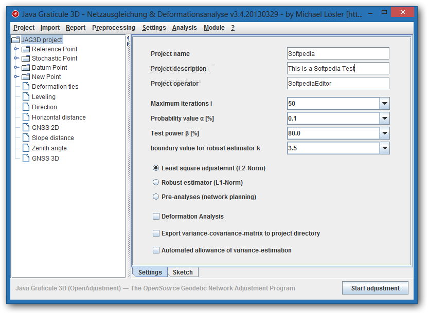
The interface is simple and straightforward. It is divided into three main areas, the menus being aligned in the upper part of the screen while the data tree and the editor take the most part of the application window.
You can choose to start a new project from scratch or to load a HyperSQL database complete with all the data.
Features and functionality at a glance
The program can estimate the 1d, 2d and 3d-networks by using the Gauss–Markov theorem. In order to detect gross errors the application relies on common outliers tests and robust L1 norm.
The classic observations are supported (distances 2D/3D, directions and/or azimuths, zenitangles, level difference and GNSS-baseline positioning).
Additional features available in Java Graticule 3D include deformation analysis, coordinate transformation, form-fitting and analysis as well as conversion of coordinates.
Conclusion
Java Graticule 3D is designed for a special category of users that are more than familiar with geodesy principles and the estimation of geodetic networks.
Unless proper knowledge is available the tool is not easy to use and the documentation may not be too helpful either.
Filed under
Table of Contents Download